Gully Erosion Project
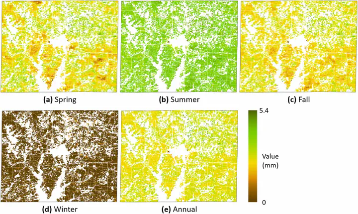 Demonstrated image of the project
Gully Erosion Project
Gully erosion susceptibility considering spatiotemporal environmental variables: Midwest U.S. region
Explore the docs »
View Slides
·
Report Bug
·
Request Feature
About The Project

The objective of this project is to develop a Python-based sample model capable of analyzing data more efficiently, utilizing the data from a research paper on gully erosion as the primary source. The mentioned paper specifically focuses on various aspects, including the assessment of spatiotemporal environmental variables driving gully erosion in agricultural lands, prediction and mapping of gully erosion susceptibility using the Maxent model, and analysis of geospatial features of vulnerable areas affected by gully erosion development.
Built With
![]()
Getting Started
We have some sample jupyter notebooks, feel free to observe them. you can find more information here.
Usage
If you have some similar files such as raster, .tif, and data related to the gully erosion, you can experiment with the following sample Python code. It can serve as a starting point for your analysis
License
Distributed under the MIT License. See LICENSE for more information.
Reference Link: https://www.sciencedirect.com/science/article/pii/S2214581822002099#fig0010
Contact
Youngbeen Oh - @0beansprout - oyb7140@gmail.com
Project Link: https://github.com/0beansprout/gully_erosion_project
Youngbeen Oh
My job interests include data analysis, database management and web development.